NAMIBIA
LAND OF SAND
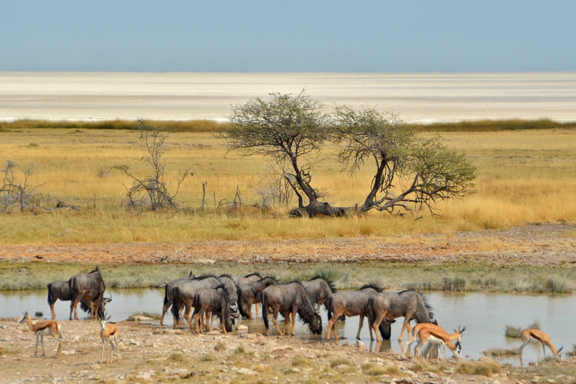
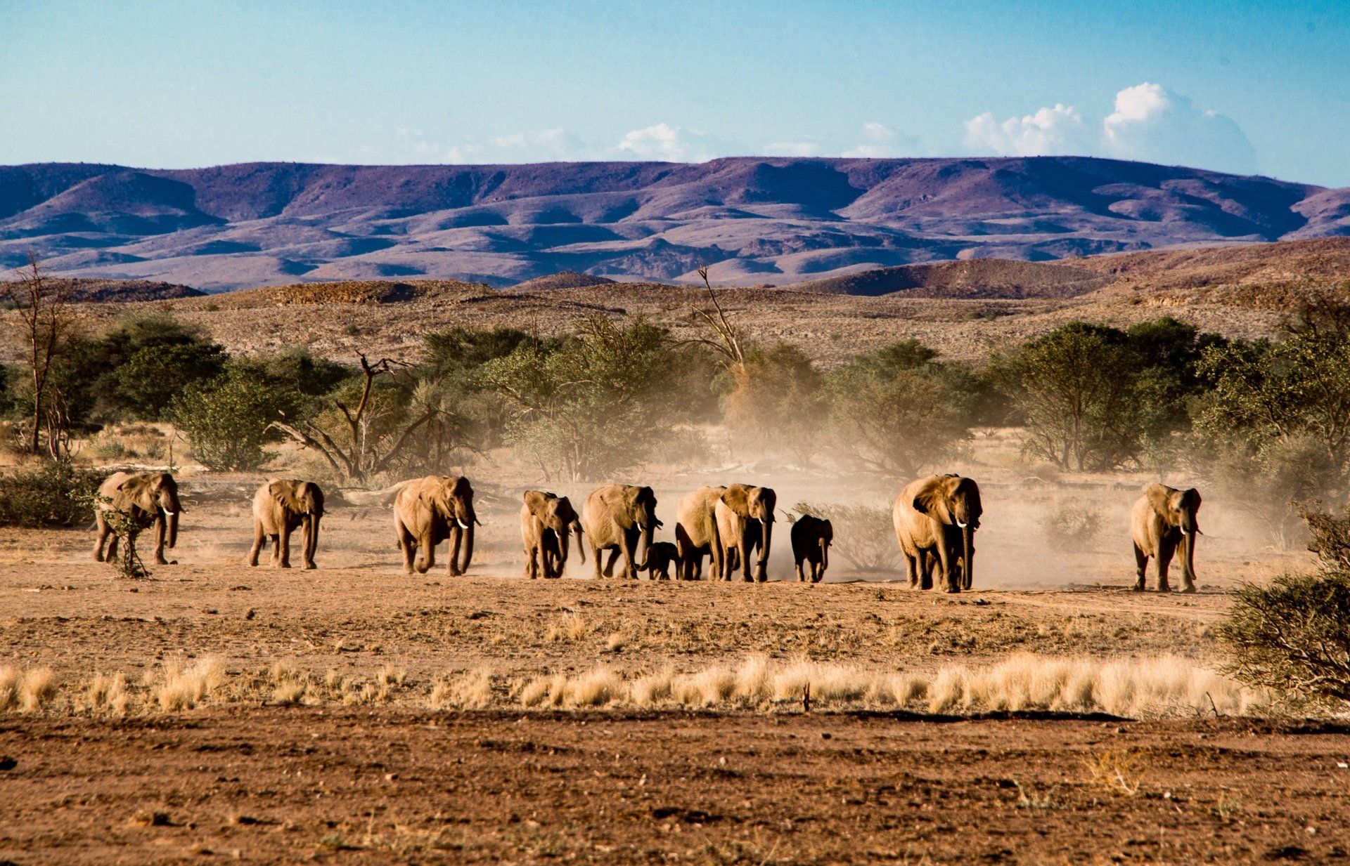
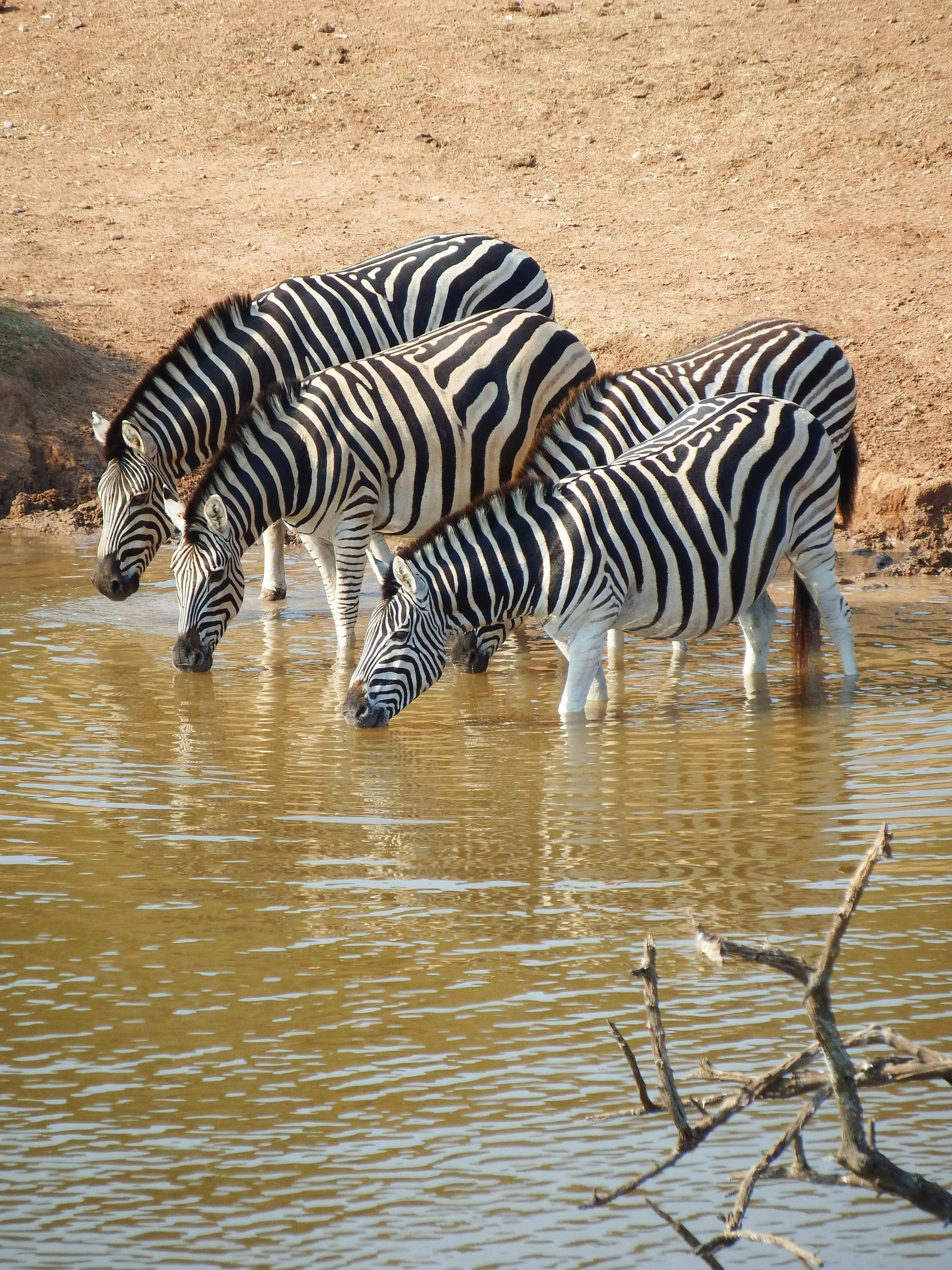
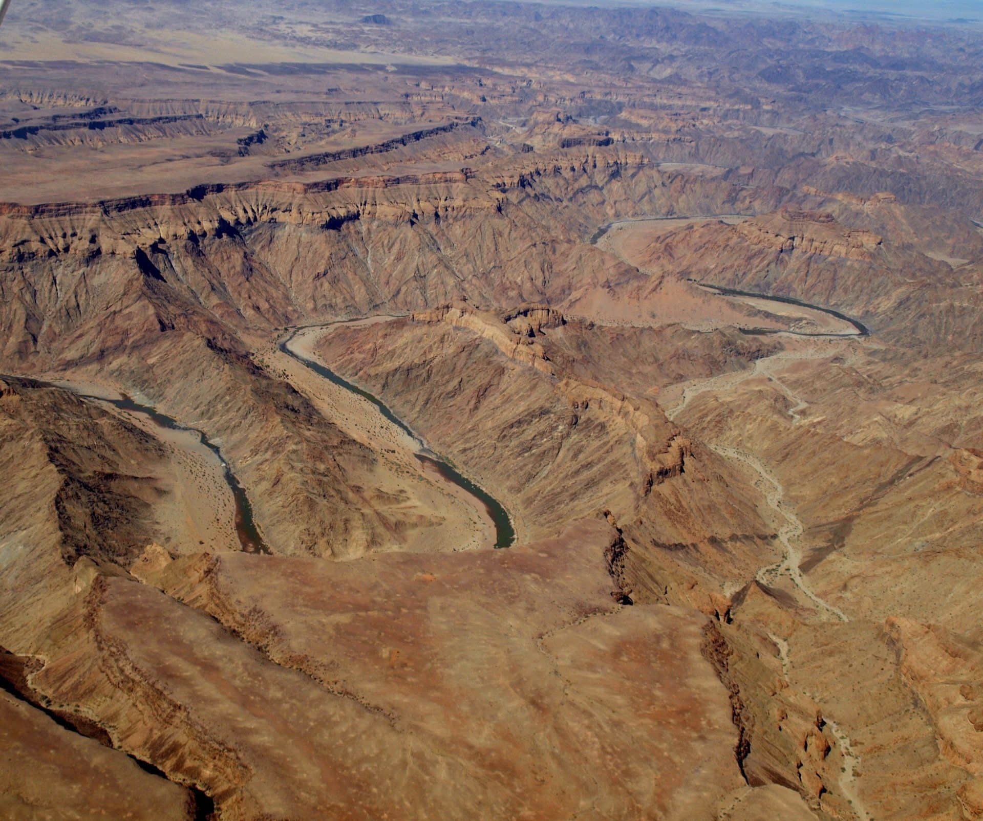
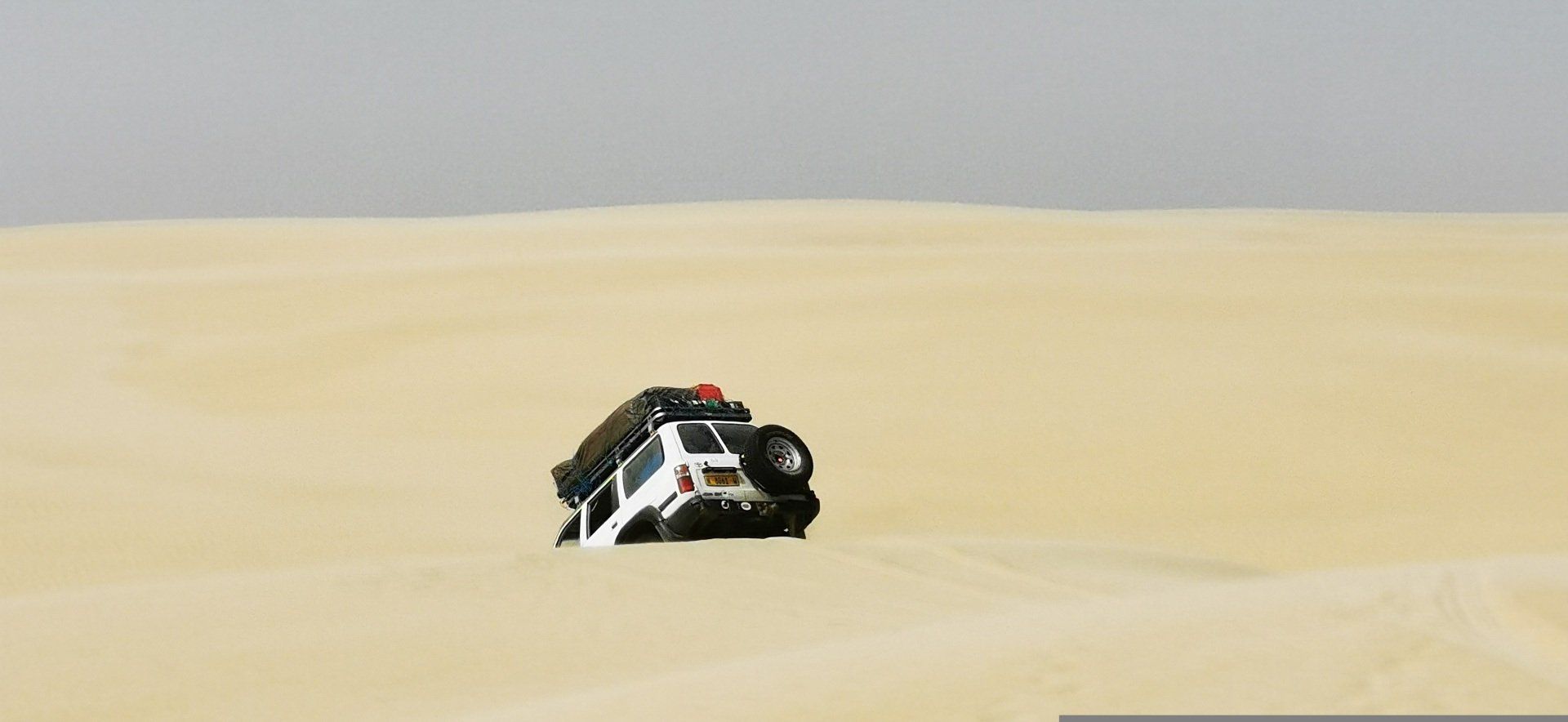
Namibia has five main geographical regions
- The Central Plateau,
- Nami Desert,
- Great Escarpment,
- Bushveld,
- and Kalahari Desert
Each with distinct climates and vegetation. The country is extremely dry, though the cold Benguela Current along the Atlantic coast brings cooler temperatures and low rainfall. It borders Angola and Zambia to the north, Botswana and Zimbabwe to the east, and South Africa to the south and east. After the Namibian War of Independence, Namibia gained independence from South Africa on 21 March 1990, with Windhoek as its capital and largest city.
The region has been inhabited since ancient times by the Bushmen, Damara, and Namaqua, and from the 14th century by migrating Bantu peoples. Portuguese explorers Diogo Cão (1485) and Bartolomeu Dias (1486) were the first Europeans to arrive, but Portugal never claimed the territory. European involvement increased in the 19th century with German and Swedish traders, followed by British and Dutch missionaries and Dorsland trekkers in 1879. Germany declared the area German South-West Africa in 1884, while Walvis Bay remained under British control.
From 1904 to 1907, Herero and Namaqua revolts were crushed in a genocide that killed about half of the Nama population and between 25,000 and 100,000 Herero. South Africa took control during World War I under a League of Nations mandate. After 1946, South Africa refused UN Trusteeship, ruled the territory as a de facto fifth province, enforced apartheid, and allowed white residents representation in the South African Parliament.
In 1966, the UN assumed responsibility for the territory and recognized SWAPO as the legitimate representative of the Namibian people in 1973, the same year its military wing began the armed struggle. Growing resistance led to an interim administration in 1985, and in 1988 South Africa agreed to withdraw under a UN peace plan. Namibia achieved independence on 21 March 1990, and Walvis Bay was finally transferred to Namibia in 1994.
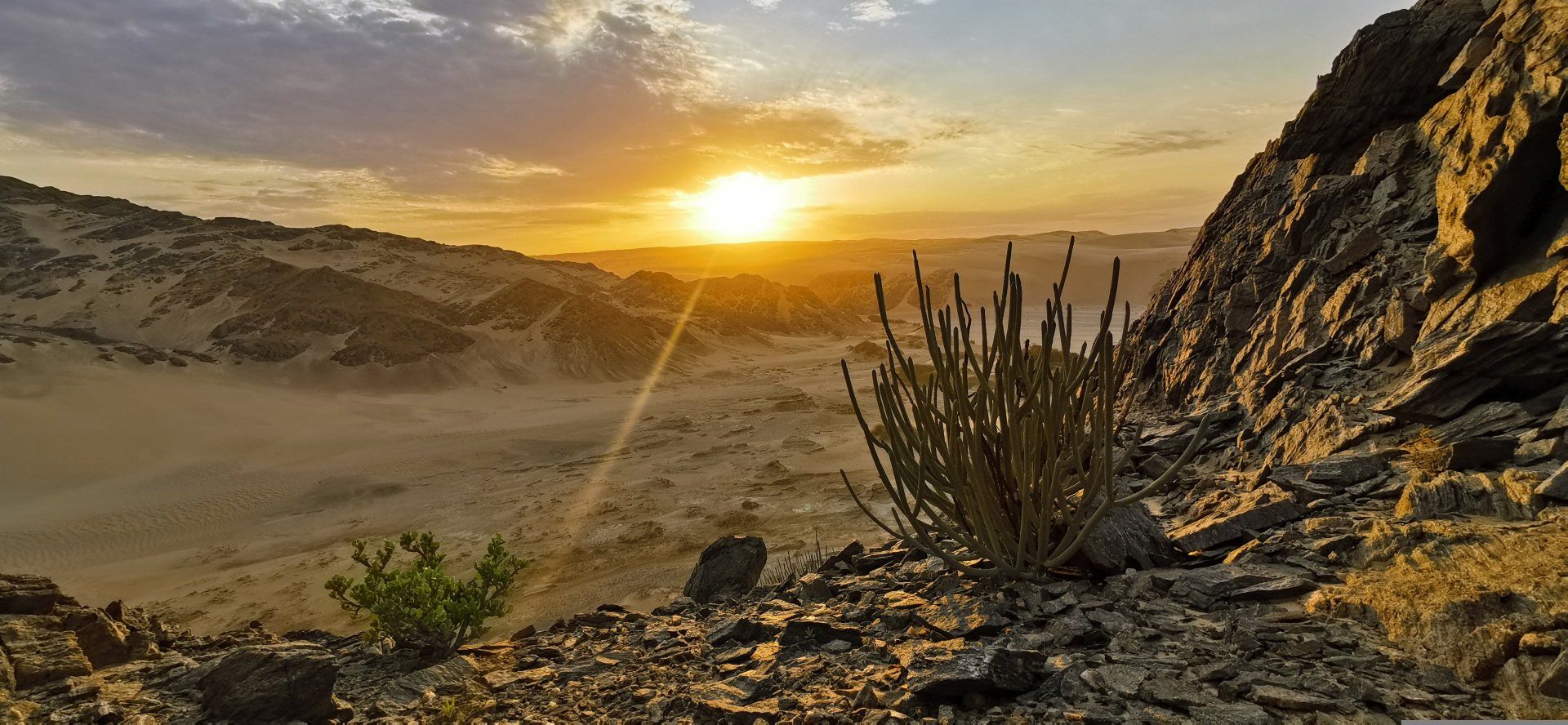
Skeleton Coast National Park