BOTSWANA
A WILD EDEN
Botswana achieved independence peacefully in 1966 and has boasted a stable democracy and economy ever since. The countries independence, which occurred when it was one of the world's 10 poorest countries, happily coincided with the discovery of diamonds. They are now responsible for nearly half of the country's export earnings and Botswana's gross domestic product is now on the of the highest per capita in Africa.
Botswana extends over 1.100 km from north to south and 960 km from east to west, and has an area of 582.000 km². It's bordered to the south and south-east by South Africa, across the Limpopo and Molopo Rivers; to the north-east by Zimbabwe; and to the north and west by Namibia. Near Kazungula, four countries Botswana, Zimbabwe and Namibia meet at a single point mid-stream in the Zambezi River. Botswana is entirely landlocked and over 500 km from the nearest coastline.
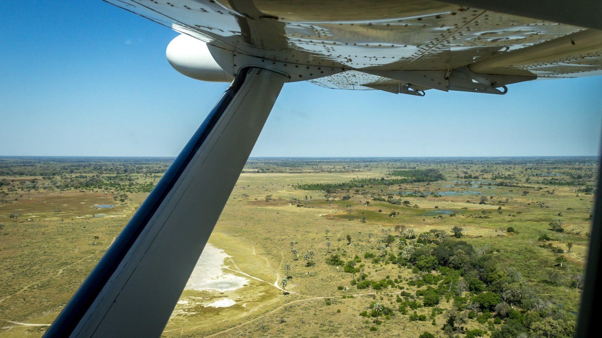
Much of the country consists of a vast and nearly level sand-filled basin characterised by scrub-covered savanna. In the lower elevations o the north-east are the great salty clay deserts of the Makgadikgadi Pans, the largest (about 12.000 km²) complex of saltpans in the world.
Covering about 75% of Botswana, including the entire central and south-western regions, is the Kalahari (known in Setswana as Kgalagadi). The Kalahari is a semi-arid expanse of wind-blown sand deposits and long sandy valleys and ridges stabilised by scrubby tress and bushes.
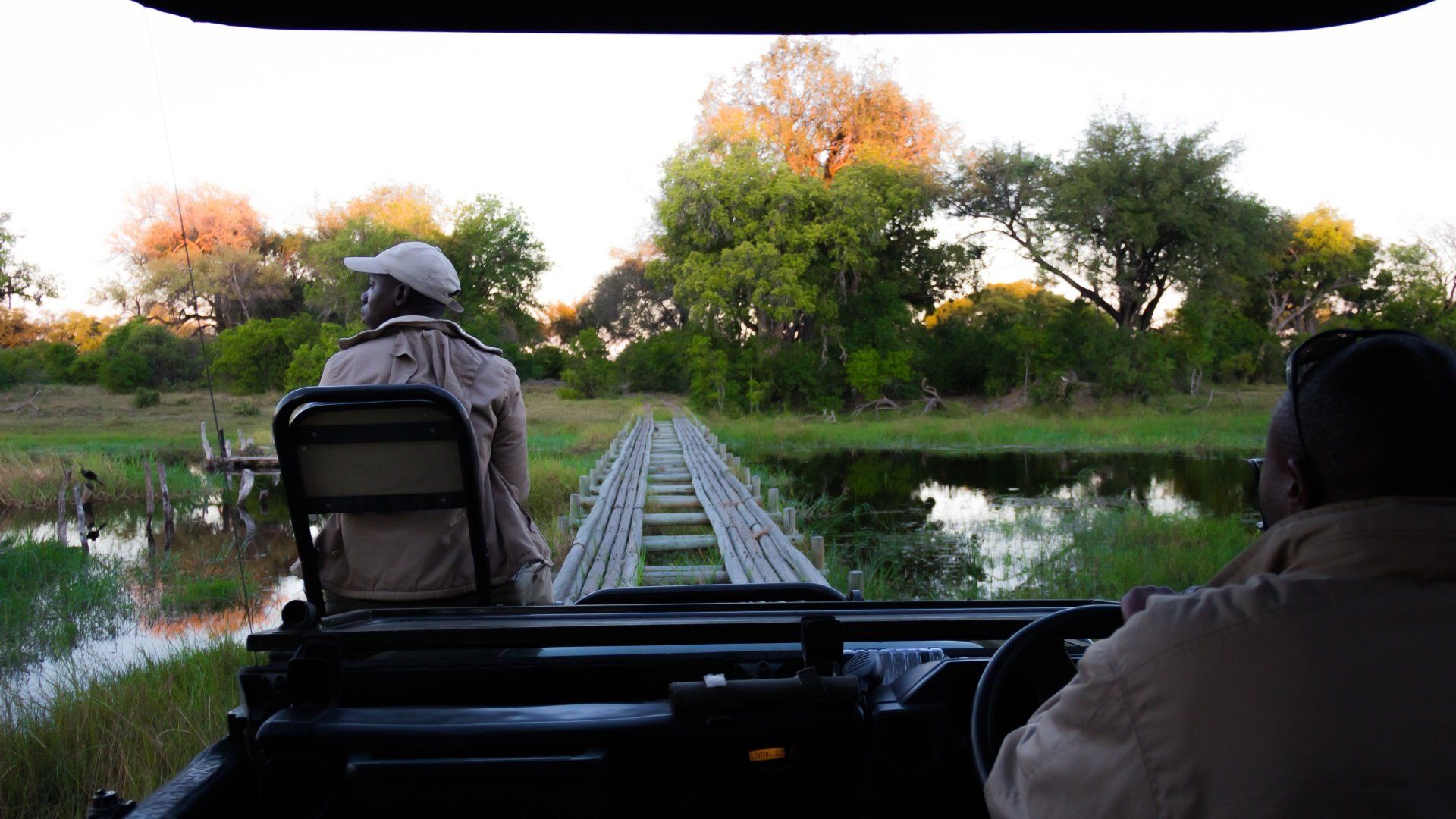
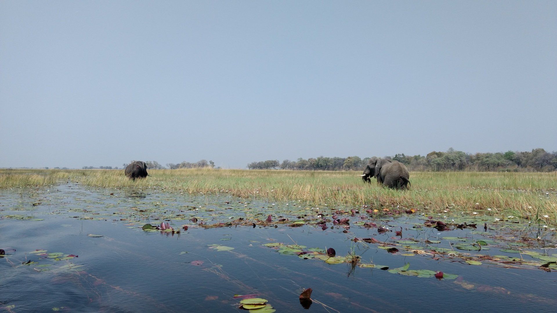
From Angola and Namibia, the Okavango River (the only river that flows into Botswana) soaks in to the Kalahari sands to form the Okavango Delta, nearly 16.000 km² of convoluted channels and islands.
Most of the country lies at an average elevation of about 1.000 m with the highest point Otse Hill (1489 m), between Gabarone (the capital) and Lobatse.
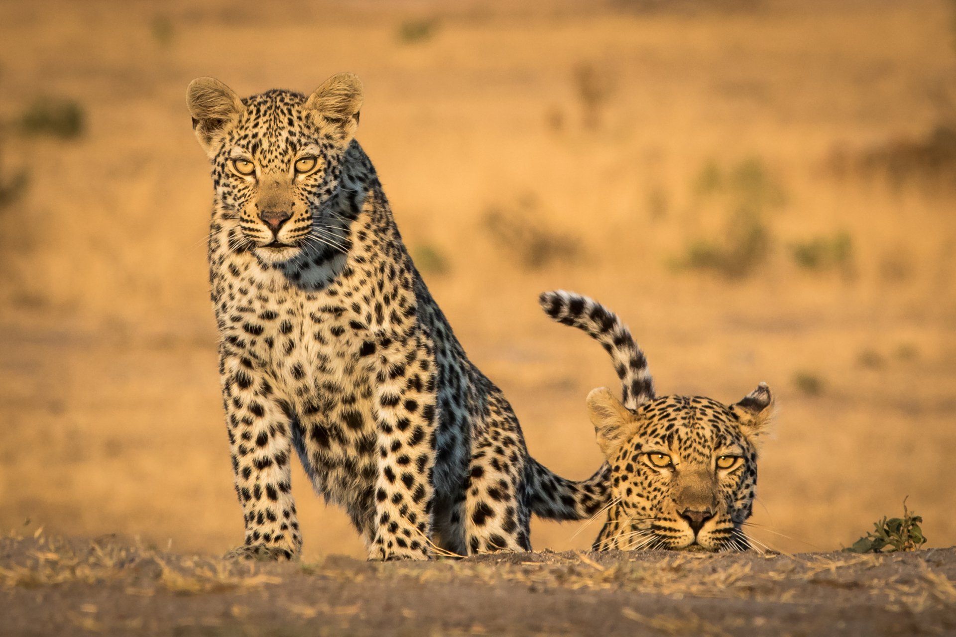
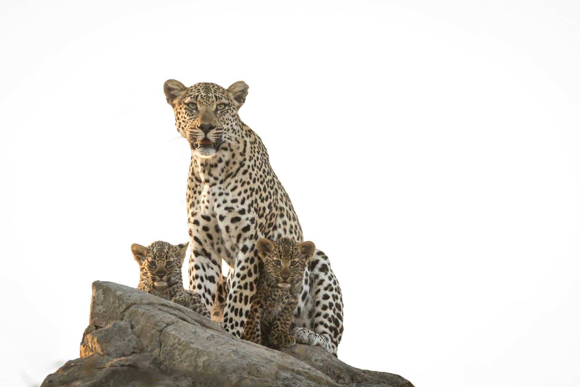
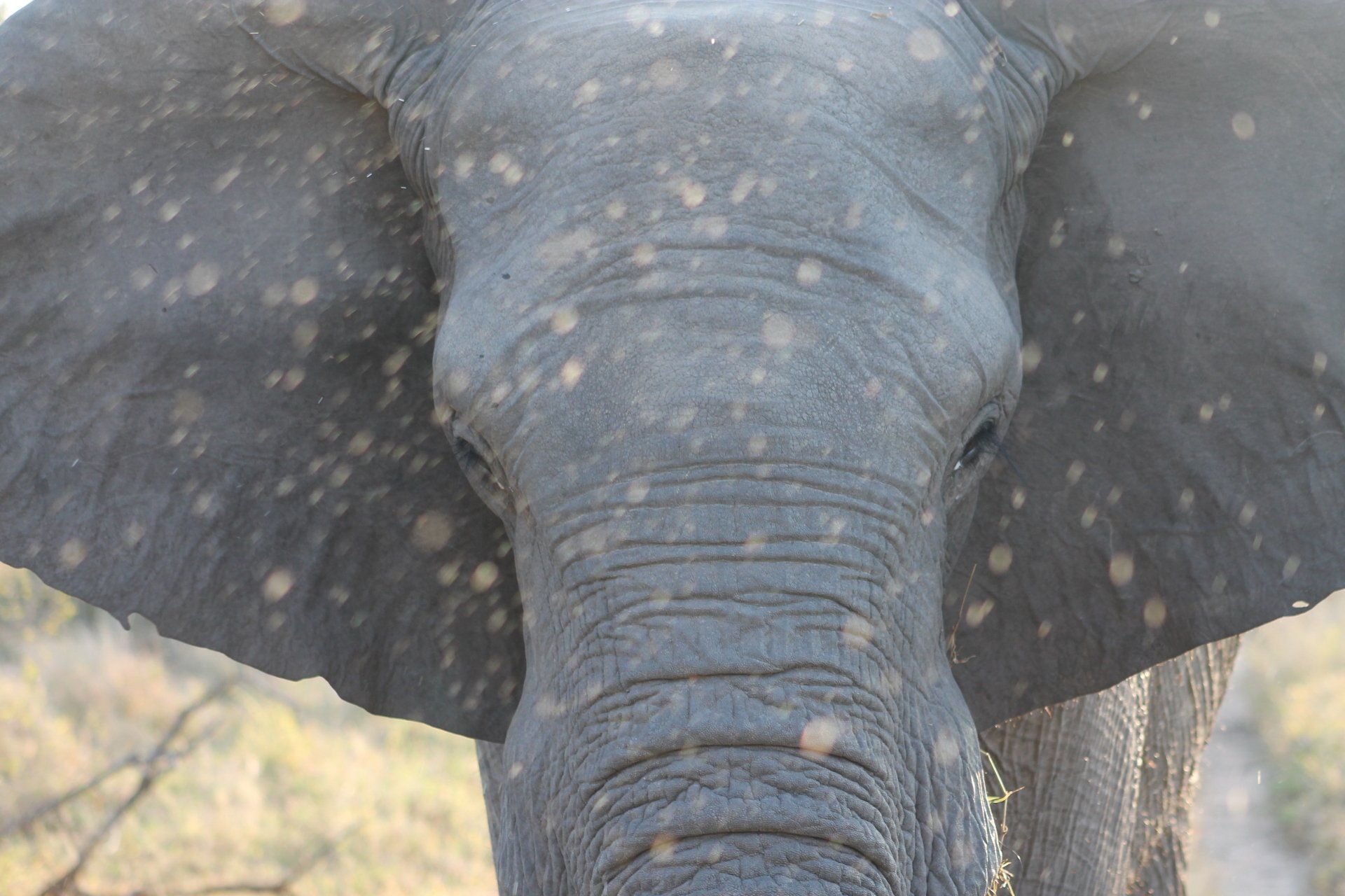
Botswana boasts the largest number of elephants in the world with over 65.000 heads!