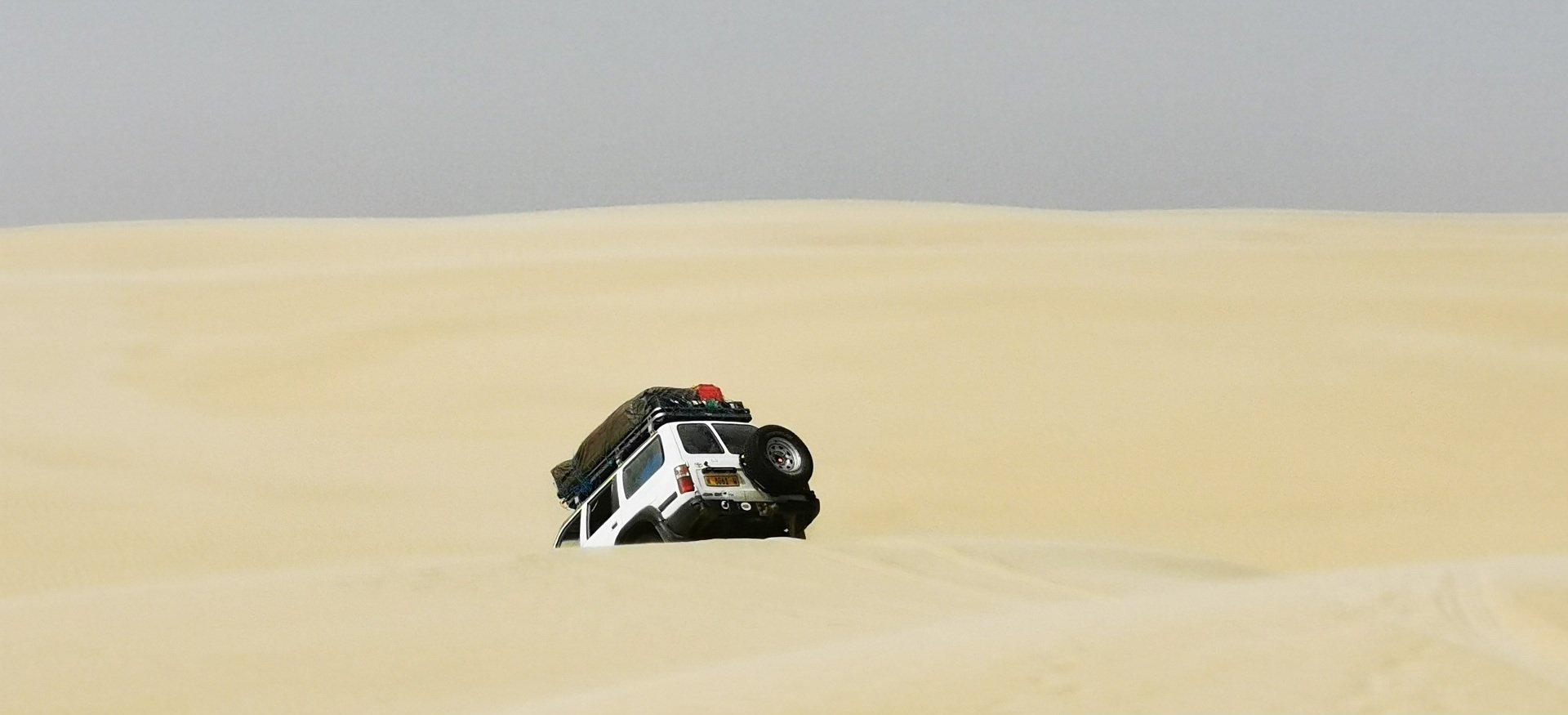
NAMIBIA

LAND OF SAND

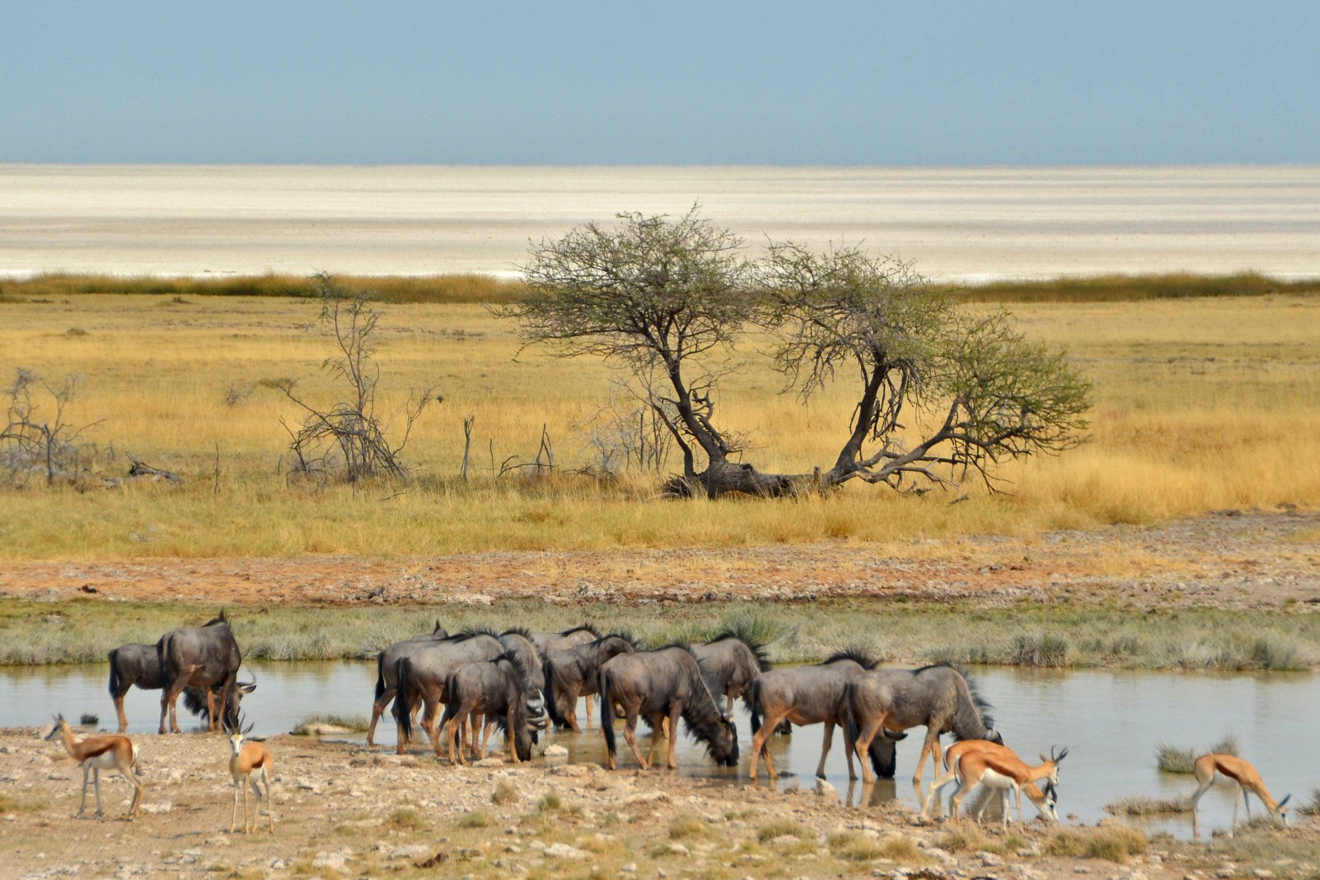
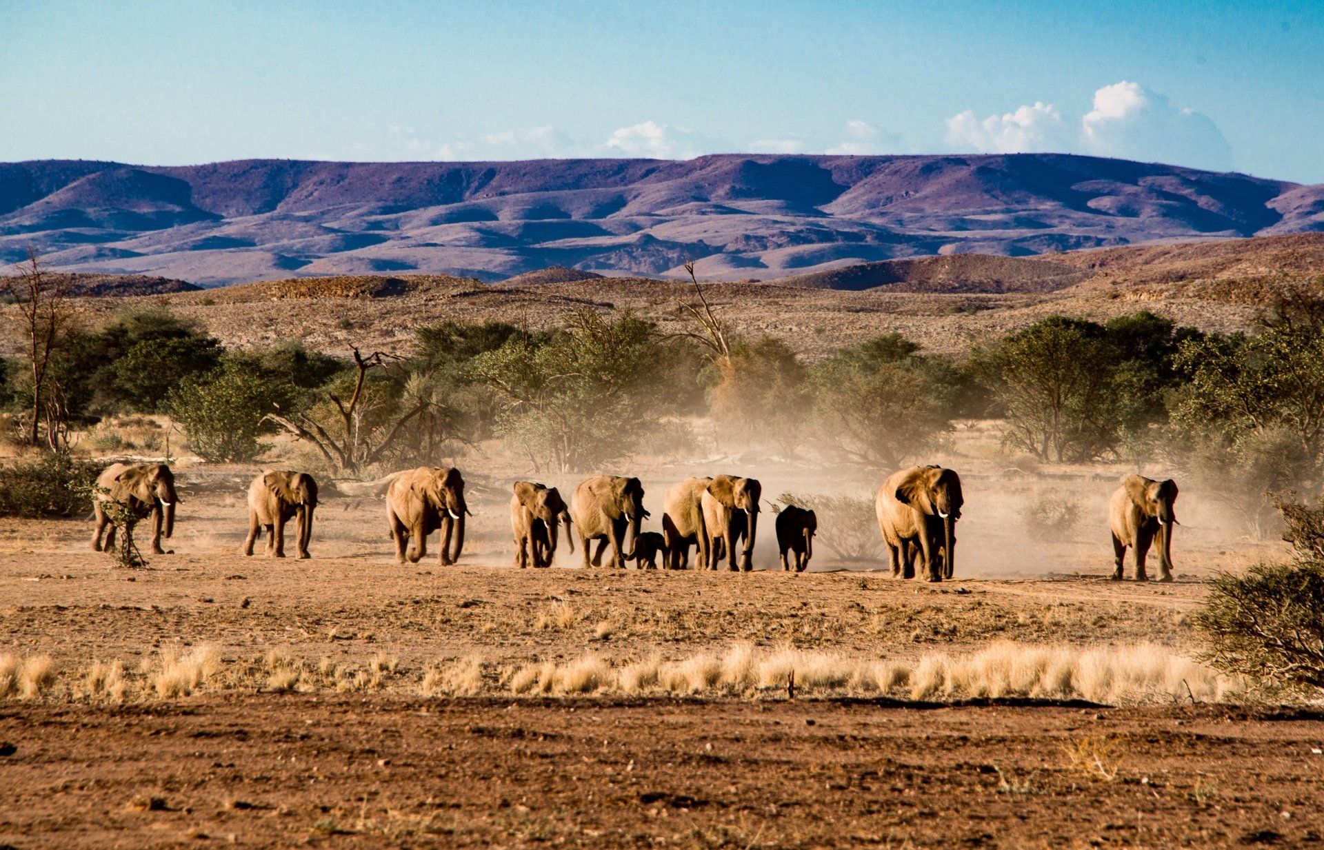
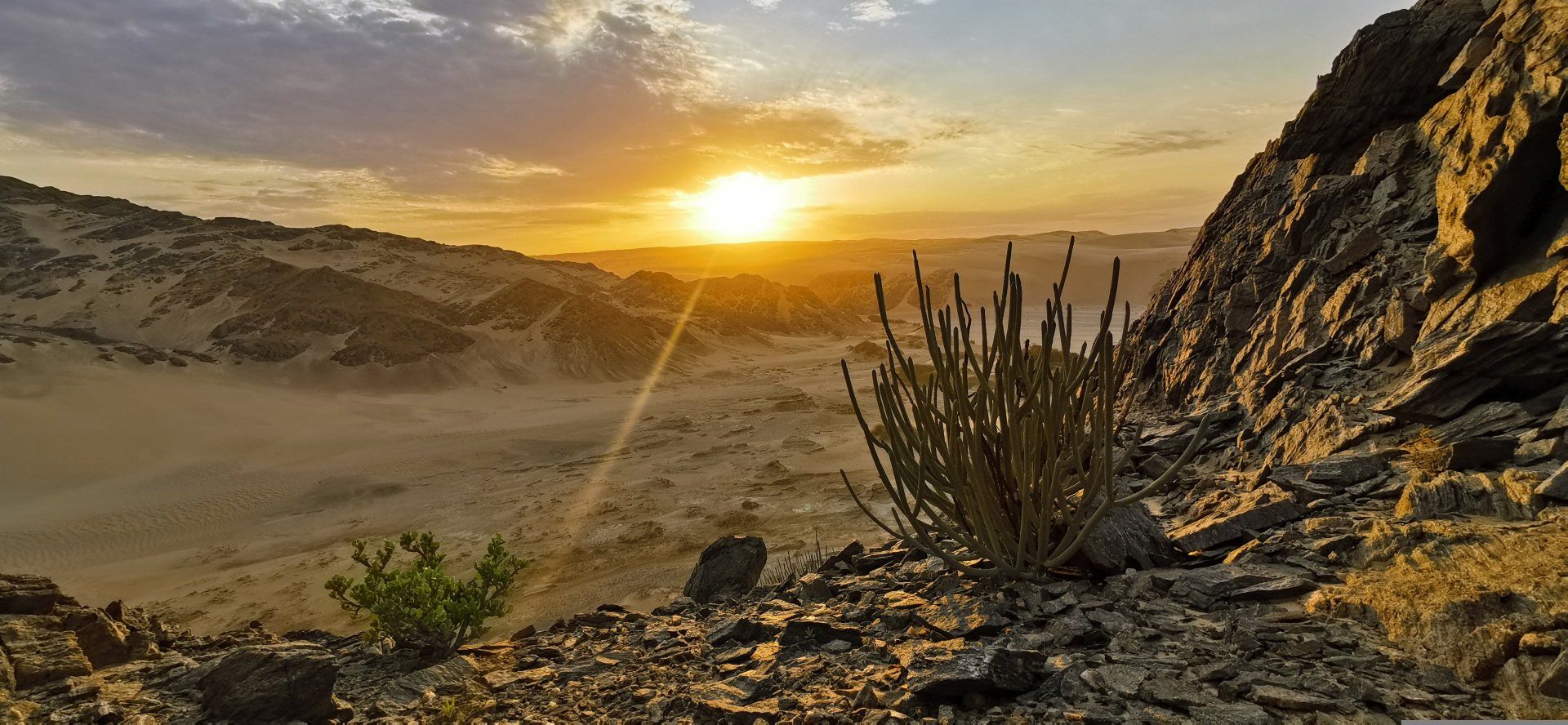
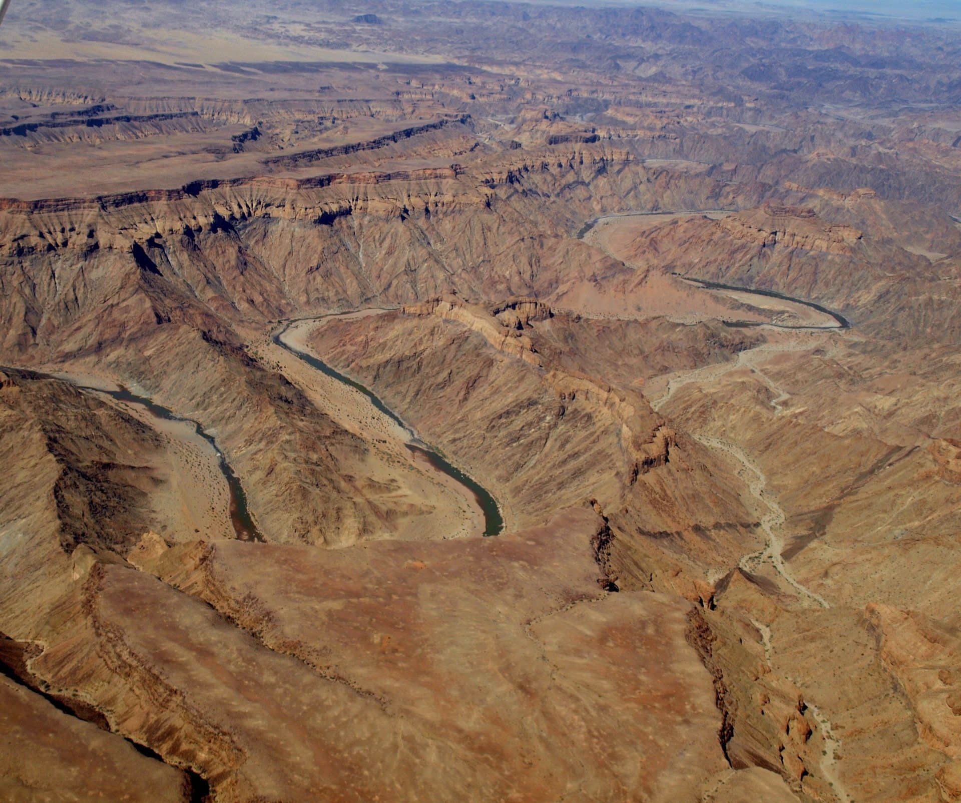
The Namibian landscape consists generally of five geographical areas, each with characteristic abiotic conditions and vegetation with some variation within and overlap between them: the Central Plateau, the Namib Desert, the Great Escarpment, the Bushveld, and the Kalahari Desert. Although the climate is generally extremely dry, there are a few exceptions. The cold, north-flowing Benguela current of the Atlantic Ocean accounts for some of the low precipitation.


Nambia shares land borders with Angola and Zambia to the north, Botswana and Zimbabwe to the east, and South Africa to the south and east. It gained independence from South Africa on 21 March 1990 following the Namibian War of Independence. Its capital and largest city is Windhoek.

The dry lands of Namibia were inhabited since early times by Bushmen, Damara, Namaqua, and since about the 14th century AD, by immigrating Bantu who came with the Bantu expansion.


The first Europeans to disembark and explore the region were the Portuguese navigators Diogo Cão in 1485 and Bartolomeu Dias in 1486, still the region was not claimed by the Portuguese crown. However, like most of Sub-Saharan Africa, Namibia was not extensively explored by Europeans until the 19th century, when traders and settlers arrived, principally from Germany and Sweden.


The country was visited by the British and Dutch missionaries during the late 18th century. It was also visited by Dorsland trekkers (A.K.A.-Junker Boers) in 1879, but became a German Imperial protectorate in 1884. In 1920, the League of Nations mandated the country to South Africa, which imposed their laws and apartheid policy.


Namibia became a German colony in 1884 to forestall British encroachment and was known as German South-West Africa (Deutsch-Südwestafrika) – apart from Walvis Bay, which was under British control. From 1904 to 1907, the Herero and the Namaqua took up arms against the Germans and in the subsequent Herero and Namaqua genocide, 10,000 Nama (half the population) and 25,000 to 100,000 Herero (three quarters of the population) were killed. South Africa occupied the colony during World War I and administered it as a League of Nations mandate territory.


In 1966, uprisings and demands by African leaders led the United Nations to assume direct responsibility over the territory, and recognizing South West Africa People’s Organization (SWAPO) as official representative of the Namibian people in 1973. Namibia, however, remained under South African administration during this time. Following internal violence, South Africa installed an interim administration in Namibia in 1985. Namibia obtained full independence from South Africa in 1990 (with the exception of Walvis Bay – a city that remained under South African control until 1994). The country also officially changed its name from South West Africa to Namibia in 1990.


Following the League’s supersession by the United Nations in 1946, South Africa refused to surrender its earlier mandate to be replaced by a United Nations Trusteeship agreement, requiring closer international monitoring of the territory’s administration. Although the South African government wanted to incorporate ‘South-West Africa’ into its territory, it never officially did so, although it was administered as the de facto ‘fifth province’, with the white minority having representation in the whites-only Parliament of South Africa.

In 1966, the South-West Africa People’s Organisation (SWAPO) military wing, People’s Liberation Army of Namibia, a guerrilla group launched a war of independence, but it was not until 1988 that South Africa agreed to end its administration of Namibia, in accordance with a United Nations peace plan for the entire region. Transition for independence started in 1989 but it was only on 21 March 1990 in which the country officially claimed full independence. Walvis Bay was ceded to Namibia in 1994 upon the end of Apartheid in South Africa.


ETOSHA NATIONAL PARK

This national park is situated in the north of Namibia. The original surface of the reserve was 99.526 km² but because of political circumstances in 1967 reduced to 22.270 km². The enormous pan in the park has a surface of 6.133 km² and was once a large lake fed by the Kunene River.


The pan dried eventually completely out and became a mineral and salty desert where nothing grows. Because of the rivers coming from the northwest and in combination with the rain season, the area transforms in to many lakes attracting thousands of birds and game. Unfortunately not all these areas can be reached by visitors.


Animals migrate during the rain-season to the park section in the west to bring the babies in the world and migrate once again to the central areas in the east during the dry season.


Summers are hot with occasional rainfall (the annual rainfall is 400 mm), March and August are cooler months with now and then a hot day but cold nights with temperatures often below zero.


DARMARALAND WILDERNESS RESERVE

The more than 160.000 ha nature reserve is situated southwest of Etosha and is known for its moon landscapes. Elephant, black rhino, zebra and antelopes survive in the area.

The more than 160.000 ha nature reserve is situated southwest of Etosha and is known for its moon landscapes. Elephant, black rhino, zebra and antelopes survive in the area.


CAPRIVI GAME RESERVE

The reserve has a surface of 600.000 ha and is situated in the far northeast from the country at the Angolan, Zambian and Botswana border. Those driving through the reserve have found the easiest route to the world famous Victoria Falls.

The reserve has a surface of 600.000 ha and is situated in the far northeast from the country at the Angolan, Zambian and Botswana border. Those driving through the reserve have found the easiest route to the world famous Victoria Falls.


FISH RIVER CANYON

Another geological wonder in Namibia, the second largest canyon in the world after the Grand Canyon in the United States. The magnificent canyon is 161 km long, 27 km wide and at some places almost 550 meter deep!


The summer days are hot, sometimes even uncomfortably hot while the nights are warm but some time to relax and cool off. The little rainfall is usually a short rain shower.


SKELETON COAST NATIONAL PARK

The Skeleton Coast is situated in the Namib Desert, 16.900 km² reaching from the Ugab River to the Kunene River in the south and the Angolan border in the north. This narrow strip of desert is not more than 40 km wide inland. The section north of the Hanib River is closed for public access due to mining activities.


People would think there is no life in this moon landscape but one would be surprised what can be found. The lifeblood of this Namib Desert section is the daily fog rolling in from the Atlantic Ocean. The fog gives enough water and life support for the many species. Game such as antelopes, giraffe, zebra and even elephant can be spotted on the river banks.


The southern section of the reserve is in strong contrast with the northern section. Here the Uniab river mouth is creating a sweet water environment for many bird species.


GENERAL INFORMATION

  • Currency

    The Namibian Dollar (N$) and the South African Rand are the only legal tender in Namibia. The two currencies are on par. Foreign currency, travellers and personal cheques can be converted to the Namibian Dollar at any bank or Bureau de Change.

  • Climate and temperature

    The sun is very intense and it is advisable to protect yourself with high sunscreen lotion, sunglasses and a hat. In addition drink a lot of water to avoid dehydration.

  • Transportation

    The public transport system is not very good and it is normally very difficult to reach the out-lying suburbs by public transport. A number of companies operate bus services between main towns in Namibia and destinations in South Africa and Victoria Falls.

  • Passports and visa

    To enter Namibia you need a passport that is valid for at least 6 months. The passport MUST have a minimum of 2 free pages available per entry. If not the entry will be denied. For more information which countries have a visa waiver (thus visa issued upon entry), please visit the Namibian government websites.


    Visitors must have a return ticket or onward ticket or proof of other means of transport enabling them to leave Namibia.

  • VAT

    The official language is English. All documents, notices and signs are in this language. Afrikaans and German are both widely used.


Share by: